
The villages
of Peterborough.
Beyond the city centre, Peterborough opens into limestone villages, river settlements, former brick country and vast fen-edge landscapes. Some communities are ancient. Some were absorbed by the growing city. Others are still being built.
Peterborough is bigger than the city you see.
Peterborough is often read as one place. It is closer to forty. Only part of the unitary authority is urban. To the west and north-west the land rises onto Jurassic limestone; through the middle runs the Nene; south of the river lies the clay that fuelled the brick industry; and to the east the landscape opens into the Fens.
The result is not a ring of interchangeable villages. Each settlement tells us something different about how Peterborough was formed, from Roman industry and medieval stone to drainage, poetry, railways, bricks and twentieth-century expansion.
One city.
A lot of ground.
From Wothorpe and Wittering to Thorney and Borough Fen, Peterborough stretches far beyond the built-up city. Use the map to understand the scale before exploring each place below.
Four landscapes.
Hundreds of stories.
Geography explains much of Peterborough. Stone influenced how villages looked. Rivers moved people and goods. Clay created an industry. Drainage transformed the Fens. The places below make those connections visible.
Stone & poetry
Barnack, Bainton, Ufford, Helpston and the north-western villages occupy a landscape of limestone, church towers, old quarries, field paths and John Clare's countryside.
River & movement
Wansford, Castor, the Ortons and settlements beside the Nene connect Roman trade, medieval stone, railways, mills, navigation and today's green corridors.
Clay & growth
South and east of the centre, Oxford Clay underpins the story of Fletton bricks, industry, former pits, nature reserves and some of Peterborough's newest communities.
Fen & sky
Newborough, Eye, Thorney and Borough Fen occupy a landscape remade by water, drainage and agriculture, with a human story stretching back into prehistory.
Find a place.
Follow a story.
Search by name, church, landscape or landmark, filter by settlement type, or jump straight to a letter. No village photographs are loaded here. Maps appear only when you ask for them.
Ailsworth
Ailsworth shares a conservation area and a deep Roman past with neighbouring Castor. To the north lies Castor Hanglands, a rich landscape of ancient woodland, scrub and grassland.
Bainton
A quiet stone and pantile village between Barnack and Helpston, built from the same geology that shaped the cathedral. Field paths connect it with John Clare's countryside.
Barnack
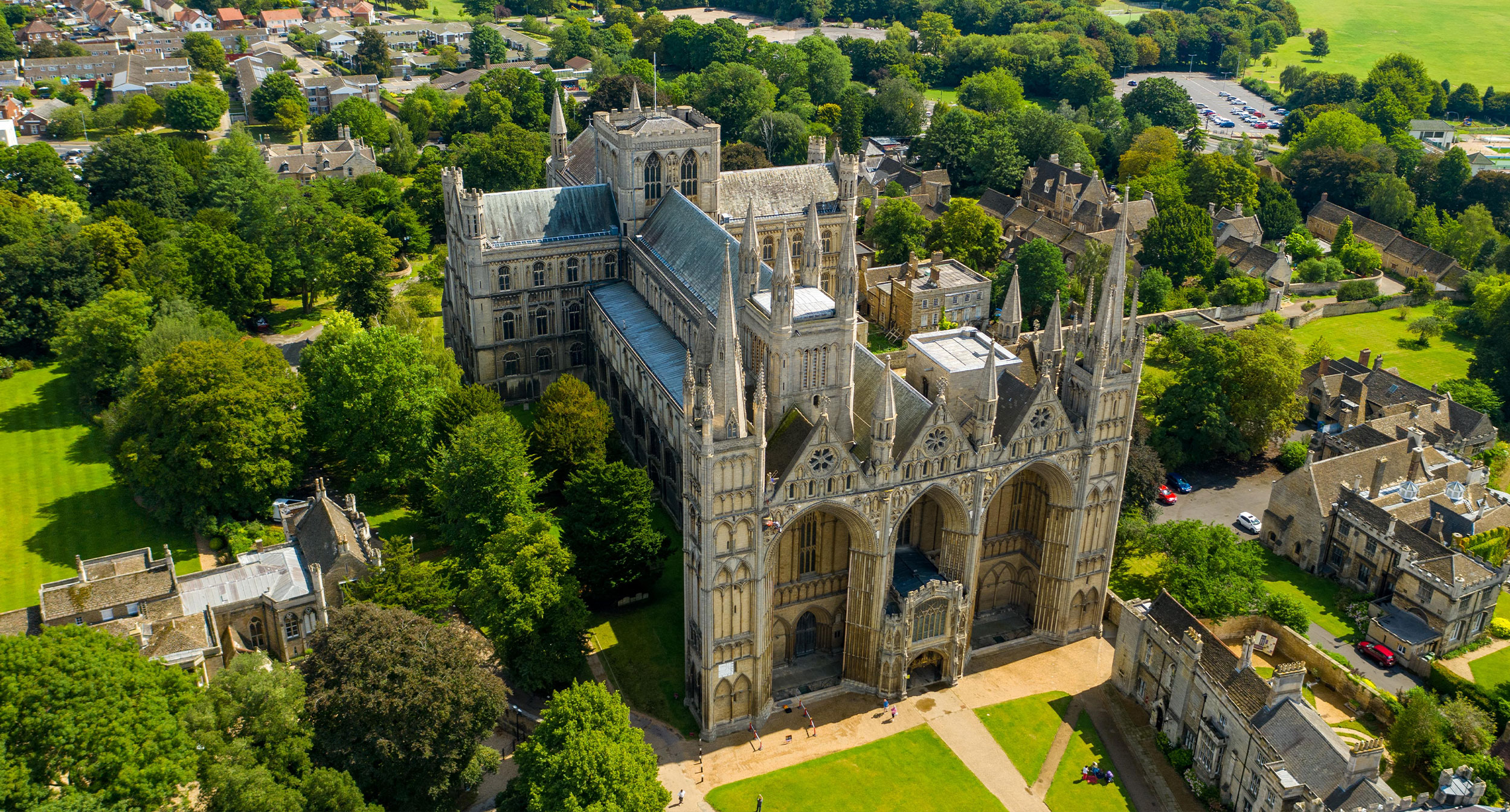
Barnack limestone helped raise Peterborough Cathedral and other major medieval buildings. The former quarries survive as the extraordinary Hills & Holes landscape beside a village whose church retains a rare Anglo-Saxon tower.
Borough Fen
One of the most sparsely settled parts of Peterborough, Borough Fen is defined by open farmland and an historic duck decoy that reveals how this wet landscape was once worked.
Bretton
Built from 1970 as part of Peterborough's New Town expansion, Bretton was planned around parkland and its own centre. The Cresset remains one of the city's major cultural venues.
Castor
Castor stands within the Roman landscape around Durobrivae. St Kyneburgha's rises over remains of a monumental Roman complex and preserves one of the area's most distinctive medieval village skylines.
Deeping Gate
A small border settlement beside the Welland. Its seventeenth-century bridge joins Peterborough directly to Deeping St James in Lincolnshire, making the administrative boundary almost invisible on the ground.
Dogsthorpe
The old settlement gave its name to Dogsthorpe Star Pit, a former brick quarry where exposed Oxford Clay connects today's neighbourhood directly with Peterborough's industrial landscape.
Etton
Archaeology at Etton revealed a causewayed enclosure with exceptional waterlogged preservation. Above ground, the settlement remains compact, quiet and surrounded by the open Welland landscape.
Eye
Eye's name reflects its origins as dry ground within a wetter landscape. The medieval core is now joined by Eye Green Nature Reserve in former brick pits, with Flag Fen lying a short distance to the south.
Fengate & Northey
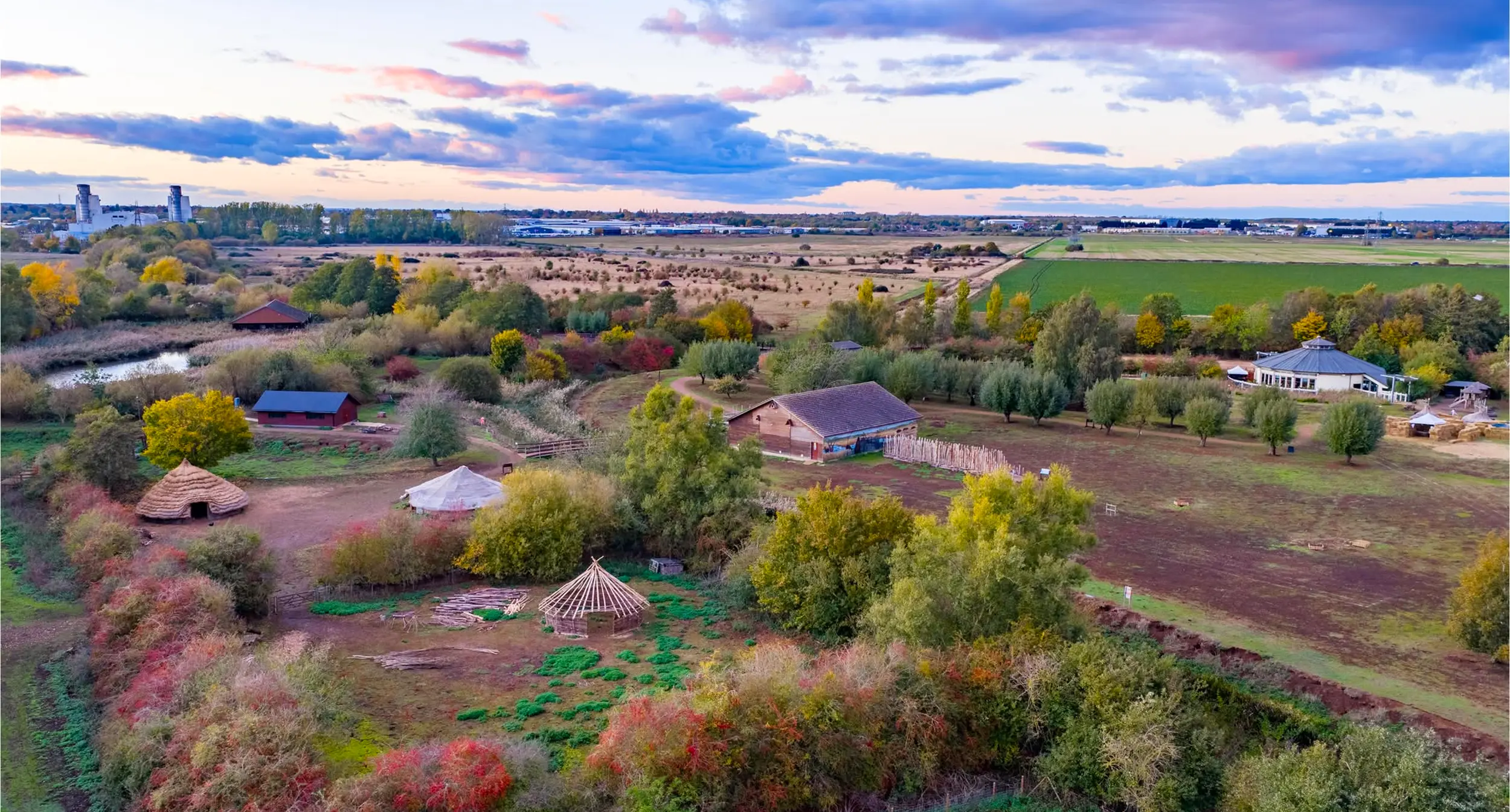
Beneath the modern industrial landscape survive Bronze Age fields, droveways and the extraordinary Flag Fen timber causeway. It connects contemporary Peterborough with thousands of years of wetland settlement.
Glinton
St Benedict's spire is visible for miles across the northern landscape. John Clare attended school here and met Mary Joyce, creating another important connection between village life and his writing.
Great Haddon
Great Haddon is one of the largest changes to Peterborough's map since the New Town era. Thousands of homes, new centres and schools are transforming former farmland between Hampton and the A1(M).
Gunthorpe
Once a small agricultural settlement, Gunthorpe became part of the expanding city. Its earlier identity still survives in roads, names, older buildings and green links.
Hampton Hargate & Vale
Hampton is one of Britain's largest modern planned communities. Former brick pits became lakes and Hampton Nature Reserve, while new neighbourhoods grew around them.
Helpston
John Clare was born here in 1793 and is buried in St Botolph's churchyard. His cottage, the village lanes and the surrounding fields make Helpston one of Peterborough's most important literary landscapes.
Longthorpe
Longthorpe Tower preserves an exceptional sequence of fourteenth-century domestic wall paintings. Nearby stand the village green and Thorpe Hall, creating a distinctive historic enclave on Peterborough's western edge.
Marholm
Marholm adjoins the Fitzwilliam estate at Milton. St Mary's contains an important group of Fitzwilliam monuments, linking the village to centuries of estate ownership and changing rural landscapes.
Maxey
St Peter's stands apart from the modern village, while the surrounding gravels contain a remarkably rich prehistoric ceremonial landscape. The Maxey Cut carries floodwater across the northern edge.
Newborough
Newborough is young by Peterborough standards. Laid out after fen drainage, its straight roads, droves and huge skies have a character quite different from the limestone villages to the west.
Northborough
Northborough Manor is an exceptional medieval house and later became associated with Elizabeth Cromwell, widow of Oliver Cromwell. Its gatehouse stands close to St Andrew's Church.
Old Fletton
Fletton gave its name to the brick made from local Lower Oxford Clay and exported across Britain. St Margaret's reaches much further back, preserving remarkable Anglo-Saxon carved stone.
Orton Longueville
The old settlement survives around Holy Trinity and Orton Hall. Beyond it, Nene Park opens into lakes, woodland, meadows and miles of routes beside the river.
Orton Waterville
The historic core was preserved when the surrounding townships expanded. Stone cottages, thatch and the village green survive close to Orton Mere and the Nene Valley Railway.
Paston
All Saints' retains Norman work above the Paston Brook valley. The older settlement's name and church survived as suburban Peterborough expanded around them.
Peakirk
Peakirk takes its name from St Pega. Her church preserves significant medieval wall paintings, while the Roman Car Dyke runs through the wider parish landscape.
Pilsgate
Pilsgate lies north-west of Barnack and shares its parish. Local stone defines the small settlement, while nearby lodges carry the name into the Burghley estate landscape.
St Martin's Without
An unusual parish dominated by Burghley Park. Burghley House, its deer park and the Capability Brown landscape sit within the Peterborough boundary despite their Stamford address.
Southorpe
One of Peterborough's smallest settlements, Southorpe is essentially a limestone street beside grassland where thin soils support an unusually rich variety of wildflowers.
Stanground
At Stanground the Nene connects with the Middle Level system. Stanground Lock opens access to hundreds of miles of Fenland navigation and reveals the area's long relationship with water.
Sutton
Tucked between Castor and Upton, Sutton is one of the district's smallest parishes. Medieval church, quiet lanes and farmland make it feel far removed from the city centre.
Thorney
The surviving nave of Thorney Abbey dominates a settlement shaped by Fenland drainage, continental Protestant settlers and later estate planning. Its nineteenth-century cottages give it a distinctive model-village character.
Thornhaugh
Thornhaugh includes Sacrewell, where a restored watermill sits within a working farm and visitor attraction. The parish stretches west towards woodland and the Northamptonshire boundary.
Ufford
Ufford retains the character of a working estate village, with stone buildings, generous verges and views across the land falling north towards the Welland.
Upton
Compact and built largely from local stone, Upton occupies higher ground west of the city. St John the Baptist anchors a settlement with wide views south across the Nene valley.
Walton
Walton predates the city's northern expansion. Although now fully within the urban area, older lanes and local landmarks still hint at the settlement Peterborough grew around.
Wansford
Wansford combines a stone village, a bridge begun in the sixteenth century and centuries of Great North Road history. Across the river, the Nene Valley Railway keeps steam railway heritage alive.
Werrington
The old village, church and manor remain at Werrington's heart, surrounded by housing developed during Peterborough's New Town expansion. Cuckoo's Hollow and the brook create an unusually green setting.
Wittering
Nationally associated with RAF Wittering, the settlement is far older than its aviation story. All Saints' contains an exceptional Anglo-Saxon chancel arch cut from local stone.
Woodston
Woodston grew on the south bank of the Nene and industrialised rapidly. Today the river, Railworld Wildlife Haven and regeneration along the embankment connect its industrial history with a changing city.
Wothorpe
Wothorpe sits on Peterborough's western edge beside Stamford. Wothorpe Towers, built by Thomas Cecil as a retreat from Burghley, creates one of the area's most unexpected historic landmarks.
No places match that search.
Clear the filters and start exploring again.
Four half-days.
Already planned.
The villages make more sense together. These short journeys connect landscape, heritage and attractions so visitors experience Peterborough as a place rather than a collection of isolated stops.
Stone & story
Follow the limestone that built the cathedral through old quarry country and finish in the landscape of John Clare.
Along the Nene
Steam trains, a working watermill, Roman Castor and the changing river landscape lead back towards Ferry Meadows.
Into the fen
Medieval painting, Roman engineering, drainage, prehistoric archaeology and Thorney Abbey tell the story of people living with water.
Brick & water
Anglo-Saxon stone, Britain's brickmaking story, Fenland navigation and reclaimed clay pits reveal the landscape beneath modern Peterborough.
Visiting villages well.
These are living communities, not visitor attractions arranged for us. A little care makes rural exploration better for residents and visitors alike.
Homes first
Many villages have narrow lanes and little formal visitor parking. Keep gateways, drives and passing places clear.
Churches vary
Village churches are often among the most rewarding places to explore, but opening arrangements differ from one parish to another.
Spend locally
Pubs, cafés, farm shops and village businesses sustain the rural visitor economy. Build a stop into the journey where you can.
Travel gently
Larger settlements have bus links. Cycling and the Green Wheel provide another way to connect many communities closer to the city.
Now see the bigger picture.
The villages are one part of Peterborough's geography. Explore the urban heart, Clare Countryside, the Fen Edge and the wider landscapes that connect them.